*****************************
WEATHER DATA
collected by a Davis Vantage Pro2Plus station,
processed by WView software running on
an Archlinux desktop computer.
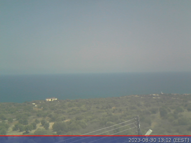
WEBCAM images
from a Logitech HD 720P webcam, captured by "fswebcam",
a lightweight Linux program, also running on the Archlinux desktop computer.
can be seen here
SATELLITE pictures:-
Geostationary images from MSG-2, received via Eumetcast,
using a 1.4M dish & an Ayecka SR1 DVB-S2 receiver.
see the links below for more info on the Eumetcast move to DVB-S2 standard
Decoded by David Taylor's software.
For more information on this system, click on:-

SURFACE CHARTS
produced by DigitalAtmosphereWS (XP) software
using METAR data from Albany
Wireless Broadband Internet provided by Multimax:-
Kayalar, TRNC
(North Cyprus)
Location:- 35deg 21.69min N, 33deg 01.72min E
Links to:-
Meteosat-9 SATELLITE IMAGES
CURRENT & HISTORICAL WEATHER DATA
SURFACE PRESSURE & TEMPERATURE CHARTS
The land of sunshine and broken contracts - particularly for house purchase.
I and many many others speak from bitter experience.
Warnings about house purchase in TRNC
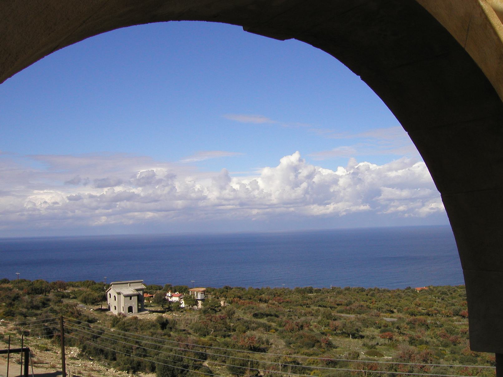
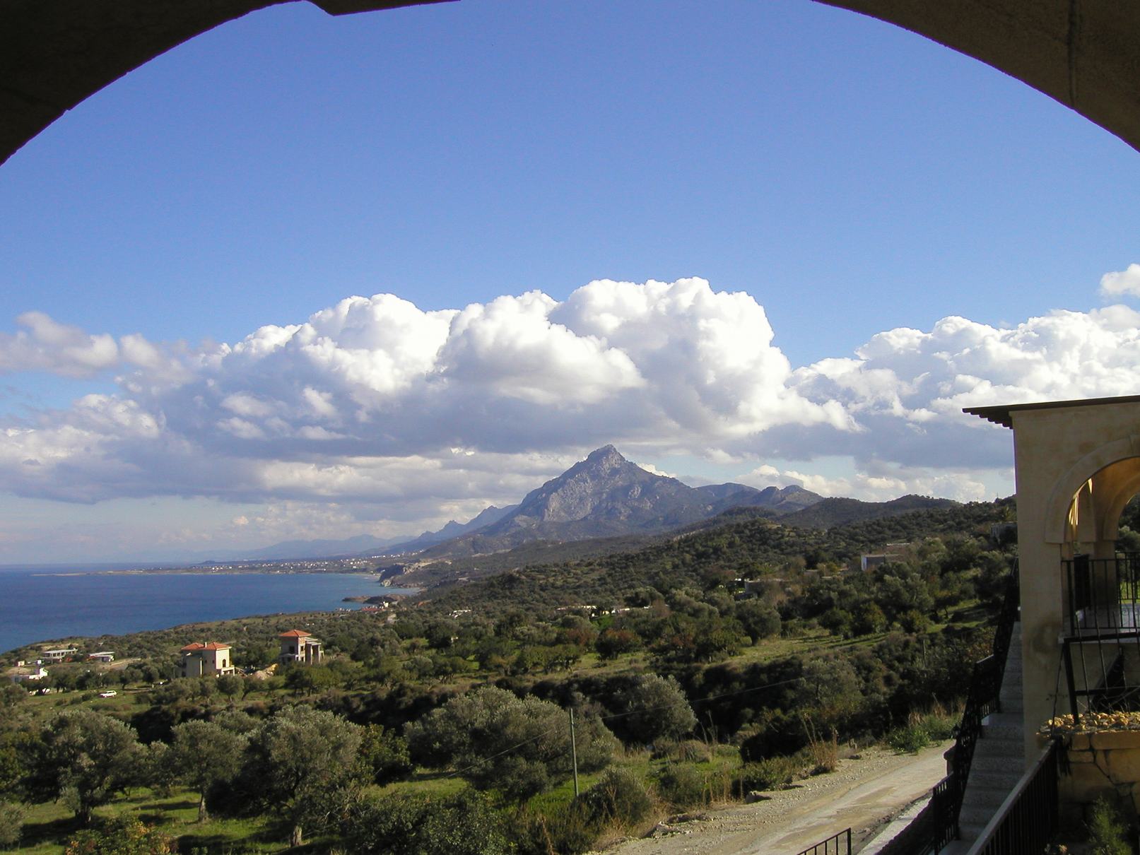
Pictures below were taken in summer 2008.
Current webcam and other images can be seen at:-
Current conditions
and here:-
for more detailed weather information
*****************************
Power generated by 3kWp
Solar Panels
click here to see them in operation
Printer ink cartridges obtained from:-
in Girne, TRNC
Visitors to this page:-
view to the North
|
view to the South East
|